
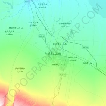
叶城县 topographic map
Interactive map
Click on the map to display elevation.
About this map
Name: 叶城县 topographic map, elevation, terrain.
Location: 叶城县, 喀什地区, 新疆维吾尔自治区, 844900, 中国 (37.72761 77.25633 38.04761 77.57633)
Average elevation: 4,511 ft
Minimum elevation: 4,167 ft
Maximum elevation: 5,853 ft
Other topographic maps
Click on a map to view its topography, its elevation and its terrain.