
西合休乡 topographic map
Interactive map
Click on the map to display elevation.
About this map
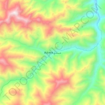
Name: 西合休乡 topographic map, elevation, terrain.
Location: 西合休乡, 叶城县, 喀什地区, 新疆维吾尔自治区, 中国 (36.93762 76.64753 37.01762 76.72753)
Average elevation: 11,211 ft
Minimum elevation: 9,042 ft
Maximum elevation: 14,039 ft
Other topographic maps
Click on a map to view its topography, its elevation and its terrain.