Geolocate

Ellensberg topographic map

Click on the map to display elevation.

About this map

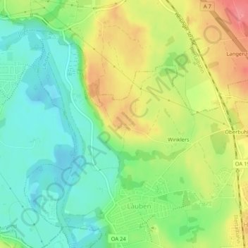
Name: Ellensberg topographic map, elevation, terrain.

Location: Ellensberg, Lauben, Landkreis Oberallgäu, Bavaria, Germany (47.78821 10.29689 47.78997 10.30113)

Average elevation: 2,208 ft

Minimum elevation: 2,096 ft

Maximum elevation: 2,362 ft

Gear up for your next adventure:

🛰️Satellite Messengers - Emergency SOS and two-way messaging for off-grid adventures
📦Dry Bags Set - Waterproof storage for electronics and clothes
Backpacking Tents - Weight-optimized shelters for multi-day topographic surveys
🔌Solar Panel Charger - Charge gear sustainably outdoors
🪶Paracord Bracelet - Survival bracelet with built‑in tools

As an Amazon Associate, this site earns from qualifying purchases at no extra cost to you.