
Toad Lake topographic map
Click on the map to display elevation.
About this map
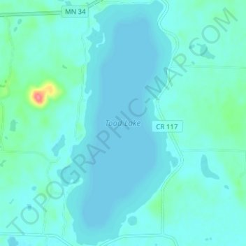
Name: Toad Lake topographic map, elevation, terrain.
Location: Toad Lake, Becker County, Minnesota, United States (46.84430 -95.50709 46.88692 -95.47619)
Average elevation: 1,522 ft
Minimum elevation: 1,493 ft
Maximum elevation: 1,745 ft
Becker County trails, hiking, mountain biking, running and outdoor activities
Other topographic maps
Click on a map to view its topography, its elevation and its terrain.
Detroit Lakes
United States > Minnesota > Becker County > Detroit Lakes > Detroit Lakes
Average elevation: 1,362 ft