
Bucks Mill topographic map
Click on the map to display elevation.
About this map
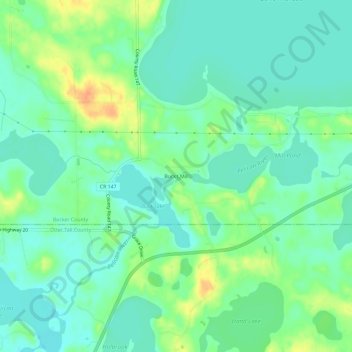
Name: Bucks Mill topographic map, elevation, terrain.
Location: Bucks Mill, Becker County, Minnesota, United States (46.70301 -95.93505 46.74301 -95.89505)
Average elevation: 1,345 ft
Minimum elevation: 1,302 ft
Maximum elevation: 1,430 ft
Becker County trails, hiking, mountain biking, running and outdoor activities
Other topographic maps
Click on a map to view its topography, its elevation and its terrain.