Geolocate

Bacon Ridge topographic map

Click on the map to display elevation.

About this map

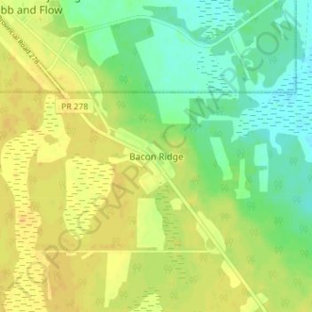
Name: Bacon Ridge topographic map, elevation, terrain.

Location: Bacon Ridge, Rural Municipality of Alonsa, Manitoba, Canada (50.98534 -99.02829 51.02534 -98.98829)

Average elevation: 853 ft

Minimum elevation: 810 ft

Maximum elevation: 886 ft

Gear up for your next adventure:

🪶Camping Sleeping Pad - Comfortable sleeping pad for backpacking
🧯Emergency Survival Kit - All‑in‑one survival essentials for the backcountry
🧢Outdoor Hiking Hat - Sun protection hat for outdoor explorers
🧭Map Reading Tools - Tools and kits for map navigation
🥾Hiking Shoes - Durable and comfortable shoes for trail hiking

As an Amazon Associate, this site earns from qualifying purchases at no extra cost to you.