
罗江乡 topographic map
Interactive map
Click on the map to display elevation.
About this map
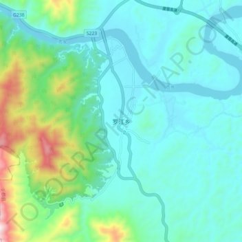
Name: 罗江乡 topographic map, elevation, terrain.
Location: 罗江乡, 于都县, 赣州市, 江西省, 中国 (25.84001 115.21255 25.92001 115.29255)
Average elevation: 791 ft
Minimum elevation: 315 ft
Maximum elevation: 2,723 ft
Other topographic maps
Click on a map to view its topography, its elevation and its terrain.