
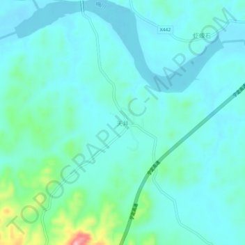
天井 topographic map
Interactive map
Click on the map to display elevation.
About this map
Name: 天井 topographic map, elevation, terrain.
Location: 天井, 于都县, 赣州市, 江西省, 中国 (26.01126 115.47684 26.05126 115.51684)
Average elevation: 482 ft
Minimum elevation: 390 ft
Maximum elevation: 945 ft
Other topographic maps
Click on a map to view its topography, its elevation and its terrain.