
贡江镇 topographic map
Interactive map
Click on the map to display elevation.
About this map
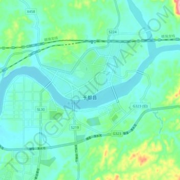
Name: 贡江镇 topographic map, elevation, terrain.
Location: 贡江镇, 于都县, 赣州市, 江西省, 中国 (25.91741 115.37064 25.99741 115.45064)
Average elevation: 469 ft
Minimum elevation: 358 ft
Maximum elevation: 935 ft
Other topographic maps
Click on a map to view its topography, its elevation and its terrain.