
Misurina topographic map
Click on the map to display elevation.
About this map
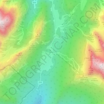
Name: Misurina topographic map, elevation, terrain.
Location: Misurina, Auronzo di Cadore, Belluno, Veneto, 32041, Italy (46.55853 12.23203 46.59853 12.27203)
Average elevation: 6,411 ft
Minimum elevation: 4,980 ft
Maximum elevation: 8,829 ft
Other topographic maps
Click on a map to view its topography, its elevation and its terrain.
Tre Cime di Lavaredo - Drei Zinnen
Italy > Veneto > Belluno > Auronzo di Cadore
Until 1919 the peaks formed part of the border between Italy and Austria-Hungary. Now they lie on the border between the Italian provinces of South Tyrol and Belluno and still are a part of the linguistic boundary between German-speaking and Italian-speaking majorities. The Cima Grande has an elevation of…
Average elevation: 7,356 ft