
茄子河区 topographic map
Interactive map
Click on the map to display elevation.
About this map
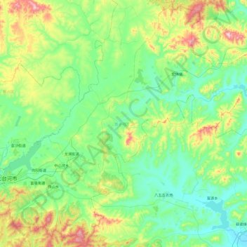
Name: 茄子河区 topographic map, elevation, terrain.
Location: 茄子河区, 七台河市, 黑龙江省, 154600, 中国 (45.59569 131.01234 46.22231 131.92537)
Average elevation: 876 ft
Minimum elevation: 374 ft
Maximum elevation: 2,700 ft
Other topographic maps
Click on a map to view its topography, its elevation and its terrain.