Geolocate

Paxico topographic map

Click on the map to display elevation.

About this map

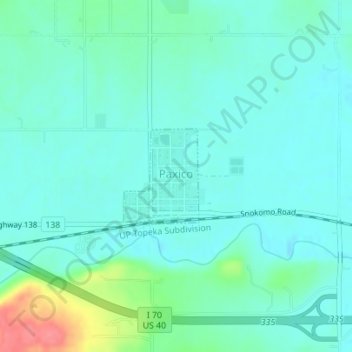
Name: Paxico topographic map, elevation, terrain.

Location: Paxico, Wabaunsee County, Kansas, 66526, United States (39.06560 -96.17152 39.07291 -96.16413)

Average elevation: 1,017 ft

Minimum elevation: 968 ft

Maximum elevation: 1,207 ft

Wabaunsee County trails, hiking, mountain biking, running and outdoor activities

Other topographic maps

Click on a map to view its topography, its elevation and its terrain.

Tabor Hill

United States > Kansas > Wabaunsee County

Average elevation: 1,066 ft

Gear up for your next adventure:

📱Solar Portable Charger - Solar power bank for charging devices off‑grid
🧭Outdoor Navigation Book - Learn advanced navigation skills
Backpacking Tent - Lightweight and durable tent for multi‑day hikes
🛌Ultralight Sleeping Bags - Compact down bags for cold nights in the wilderness
🥩Freeze-Dried Meals - Nutritious and lightweight food for remote expeditions

As an Amazon Associate, this site earns from qualifying purchases at no extra cost to you.