
Tabor Hill topographic map
Click on the map to display elevation.
About this map
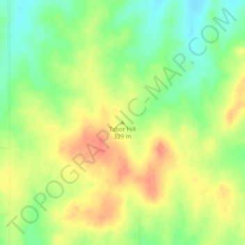
Name: Tabor Hill topographic map, elevation, terrain.
Location: Tabor Hill, Wabaunsee County, Kansas, United States (39.11217 -96.07893 39.11227 -96.07883)
Average elevation: 1,066 ft
Minimum elevation: 981 ft
Maximum elevation: 1,142 ft
Wabaunsee County trails, hiking, mountain biking, running and outdoor activities
Other topographic maps
Click on a map to view its topography, its elevation and its terrain.
Maple Hill
United States > Kansas > Wabaunsee County
Maple Hill occupies a gently elevated setting in eastern Wabaunsee County, at about 974 feet (297 m) above sea level, where the town lies on a modest upland shoulder between broader lowlands and the nearby Flint Hills landscape. The surrounding terrain is characteristic of east-central Kansas: open, rolling…
Average elevation: 978 ft