Geolocate

Twitty topographic map

Click on the map to display elevation.

About this map

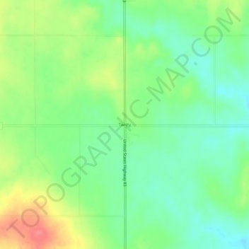
Name: Twitty topographic map, elevation, terrain.

Location: Twitty, Wheeler County, Texas, United States (35.29394 -100.25623 35.33394 -100.21623)

Average elevation: 2,247 ft

Minimum elevation: 2,156 ft

Maximum elevation: 2,395 ft

Wheeler County trails, hiking, mountain biking, running and outdoor activities

Other topographic maps

Click on a map to view its topography, its elevation and its terrain.

Wheeler

United States > Texas > Wheeler County

Average elevation: 2,523 ft

Gear up for your next adventure:

🧢Sun Protection Hats - Wide-brimmed and UPF-rated hats for high-altitude sun safety
🥘Titanium Cookware - Durable, featherlight pots and pans for backpacking
🪶Survival Guide Book - Expert advice for emergency preparedness
Backpacking Tent - Lightweight and durable tent for multi‑day hikes
🎒Waterproof Dry Bags - Keep your electronics and maps dry inside your pack

As an Amazon Associate, this site earns from qualifying purchases at no extra cost to you.