
Wheeler topographic map
Click on the map to display elevation.
About this map
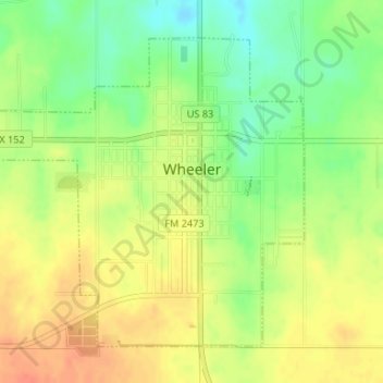
Name: Wheeler topographic map, elevation, terrain.
Location: Wheeler, Wheeler County, Texas, 79096, United States (35.43009 -100.29435 35.45186 -100.26314)
Average elevation: 2,523 ft
Minimum elevation: 2,441 ft
Maximum elevation: 2,592 ft
Wheeler County trails, hiking, mountain biking, running and outdoor activities
Other topographic maps
Click on a map to view its topography, its elevation and its terrain.