
沙坪镇 topographic map
Interactive map
Click on the map to display elevation.
About this map
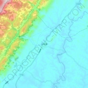
Name: 沙坪镇 topographic map, elevation, terrain.
Location: 沙坪镇, 垫江县, 重庆市, 408304, 中国 (30.43580 107.39600 30.51580 107.47600)
Average elevation: 1,598 ft
Minimum elevation: 1,280 ft
Maximum elevation: 3,202 ft
Other topographic maps
Click on a map to view its topography, its elevation and its terrain.