
长龙镇 topographic map
Interactive map
Click on the map to display elevation.
About this map
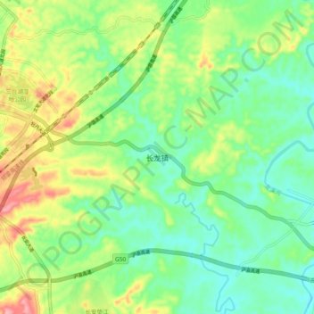
Name: 长龙镇 topographic map, elevation, terrain.
Location: 长龙镇, 垫江县, 重庆市, 中国 (30.26690 107.37200 30.34690 107.45200)
Average elevation: 1,355 ft
Minimum elevation: 1,204 ft
Maximum elevation: 1,634 ft
Other topographic maps
Click on a map to view its topography, its elevation and its terrain.