
大石乡 topographic map
Interactive map
Click on the map to display elevation.
About this map
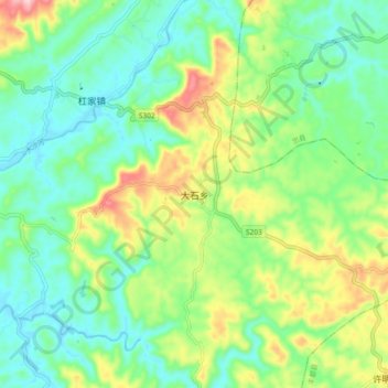
Name: 大石乡 topographic map, elevation, terrain.
Location: 大石乡, 垫江县, 渝东北三峡库区城镇群区位, 重庆市, 中国 (30.15950 107.49600 30.23950 107.57600)
Average elevation: 1,463 ft
Minimum elevation: 1,230 ft
Maximum elevation: 1,969 ft
Other topographic maps
Click on a map to view its topography, its elevation and its terrain.