Geolocate

Ogombo topographic map

Click on the map to display elevation.

About this map

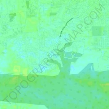
Name: Ogombo topographic map, elevation, terrain.

Location: Ogombo, Eti Osa, Lagos State, 101245, Nigeria (6.43035 3.59374 6.47035 3.63374)

Average elevation: 20 ft

Minimum elevation: 0 ft

Maximum elevation: 36 ft

Other topographic maps

Click on a map to view its topography, its elevation and its terrain.

Lagos Island

Nigeria > Lagos State > Eti Osa > Igbo

Average elevation: 10 ft

Gear up for your next adventure:

🪶Multi‑Purpose Knife - Useful blade for camp and trail
🥤Water Filter Bottle - All‑in‑one filter bottle for safe hydration
🧭GPS Watch Accessories - Bands and chargers for GPS watches
🗺️NatGeo Topo Maps - High-quality waterproof printed topographic maps of US Parks
🍳Camping Cook Set - Complete cookware for outdoor meals

As an Amazon Associate, this site earns from qualifying purchases at no extra cost to you.