
东亭乡 topographic map
Interactive map
Click on the map to display elevation.
About this map
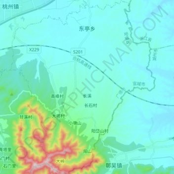
Name: 东亭乡 topographic map, elevation, terrain.
Location: 东亭乡, 广德市, 宣城市, 安徽省, 中国 (30.77217 119.45940 30.89113 119.57434)
Average elevation: 338 ft
Minimum elevation: 56 ft
Maximum elevation: 2,051 ft
Other topographic maps
Click on a map to view its topography, its elevation and its terrain.