Geolocate

Cat Spring topographic map

Click on the map to display elevation.

About this map

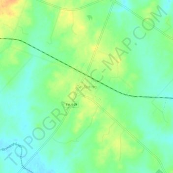
Name: Cat Spring topographic map, elevation, terrain.

Location: Cat Spring, Austin County, Texas, 78933, United States (29.82333 -96.34548 29.86333 -96.30548)

Average elevation: 295 ft

Minimum elevation: 249 ft

Maximum elevation: 358 ft

Austin County trails, hiking, mountain biking, running and outdoor activities

Other topographic maps

Click on a map to view its topography, its elevation and its terrain.

Wallis

United States > Texas > Austin County

Average elevation: 131 ft

Sealy

United States > Texas > Austin County

Average elevation: 177 ft

Gear up for your next adventure:

🛰️Handheld GPS Units - Professional satellite navigators for precise backcountry mapping
🧺Microfiber Travel Towels - Compact and fast-drying towels for trail use
🌎3D Topographic Globes - Raised relief globes for a tactile understanding of geography
🧥Men's Rain Shells - Premium waterproof and breathable jackets for mountain weather
🕶️Glacier Sunglasses - Side shields to protect eyes from high-altitude snow glare

As an Amazon Associate, this site earns from qualifying purchases at no extra cost to you.