Geolocate

Amos topographic map

Click on the map to display elevation.

About this map

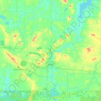
Name: Amos topographic map, elevation, terrain.

Location: Amos, Abitibi, Abitibi-Témiscamingue, Quebec, Canada (48.50221 -78.22408 48.71955 -77.79997)

Average elevation: 1,027 ft

Minimum elevation: 942 ft

Maximum elevation: 1,299 ft

Gear up for your next adventure:

🚪Portable Camp Chair - Foldable chair for comfort at camp
🪓Survival Multi‑Tool - Versatile tool for camp and trail tasks
🧣Merino Neck Gaiters - Multi-functional headwear for wind and sun protection
🦺Reflective Outdoor Gear - Safety gear for low‑light conditions
🗺️NatGeo Topo Maps - High-quality waterproof printed topographic maps of US Parks

As an Amazon Associate, this site earns from qualifying purchases at no extra cost to you.