Geolocate

Magnolia topographic map

Interactive map

Click on the map to display elevation.

About this map

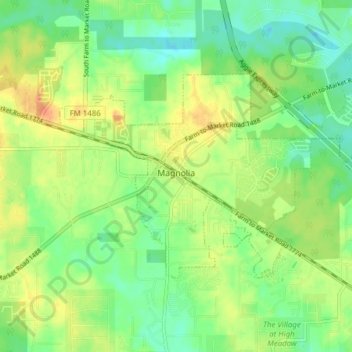
Name: Magnolia topographic map, elevation, terrain.

Location: Magnolia, Montgomery County, Texas, United States (30.18961 -95.77650 30.22826 -95.69937)

Average elevation: 253 ft

Minimum elevation: 190 ft

Maximum elevation: 335 ft

Montgomery County trails, hiking, mountain biking, running and outdoor activities

Other topographic maps

Click on a map to view its topography, its elevation and its terrain.

Mount Zion

United States > Texas > Montgomery County

Average elevation: 289 ft

Security

United States > Texas > Montgomery County

Average elevation: 174 ft

Conroe

United States > Texas > Montgomery County > Conroe > Conroe

Average elevation: 197 ft

Porter

United States > Texas > Montgomery County

Average elevation: 98 ft

Lake Egypt

United States > Texas > Montgomery County > Egypt

Average elevation: 200 ft

New Caney

United States > Texas > Montgomery County

Average elevation: 98 ft