Geolocate

Avilla topographic map

Click on the map to display elevation.

About this map

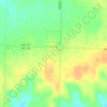
Name: Avilla topographic map, elevation, terrain.

Location: Avilla, Jasper County, Missouri, 64833, United States (37.18810 -94.13227 37.19959 -94.12742)

Average elevation: 1,119 ft

Minimum elevation: 1,060 ft

Maximum elevation: 1,168 ft

Jasper County trails, hiking, mountain biking, running and outdoor activities

Other topographic maps

Click on a map to view its topography, its elevation and its terrain.

Joplin

United States > Missouri > Jasper County > Joplin

Average elevation: 984 ft

Belle Center

United States > Missouri > Jasper County

Average elevation: 961 ft

Atlas

United States > Missouri > Jasper County

Average elevation: 1,037 ft

Oakland Park

United States > Missouri > Jasper County > Webb City

Average elevation: 1,020 ft

Center Creek

United States > Missouri > Jasper County > Oronogo

Average elevation: 981 ft

Gear up for your next adventure:

🚗GPS Dash Cams - Record your scenic drives through mountain passes and canyons
🚁Photography Drones - Capture stunning aerial views of landforms and topography
🧴Hand Sanitizer - Keep hands clean while hiking
👟Men's Trail Runners - Lightweight footwear for fast-paced exploration and light hiking
🎒Trail Energy Bars - High‑calorie bars for hiking energy

As an Amazon Associate, this site earns from qualifying purchases at no extra cost to you.