
Red Lodge topographic map
Click on the map to display elevation.
About this map
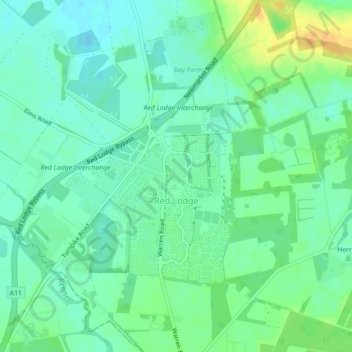
Name: Red Lodge topographic map, elevation, terrain.
Location: Red Lodge, West Suffolk, Suffolk, England, United Kingdom (52.29787 0.47291 52.31648 0.50402)
Average elevation: 72 ft
Minimum elevation: 36 ft
Maximum elevation: 138 ft
Other topographic maps
Click on a map to view its topography, its elevation and its terrain.