Geolocate

Schaal topographic map

Click on the map to display elevation.

About this map

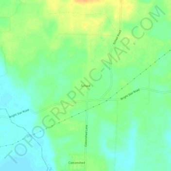
Name: Schaal topographic map, elevation, terrain.

Location: Schaal, Howard County, Arkansas, 71851, United States (33.80623 -93.98102 33.84623 -93.94102)

Average elevation: 299 ft

Minimum elevation: 256 ft

Maximum elevation: 358 ft

Howard County trails, hiking, mountain biking, running and outdoor activities

Other topographic maps

Click on a map to view its topography, its elevation and its terrain.

Tollette

United States > Arkansas > Howard County

Average elevation: 331 ft

Nashville

United States > Arkansas > Howard County

Average elevation: 420 ft

Gear up for your next adventure:

🪶Paracord Bracelet - Survival bracelet with built‑in tools
💧Water Purification System - Clean water on the trail with reliable purifiers
📡GPS Antenna Upgrade - Enhance GPS reception in remote terrain
🧭GPS Watch Accessories - Bands and chargers for GPS watches
🎒Hydration Pack - Hands‑free water reservoir for long hikes

As an Amazon Associate, this site earns from qualifying purchases at no extra cost to you.