Geolocate

Tosca topographic map

Click on the map to display elevation.

About this map

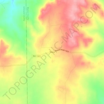
Name: Tosca topographic map, elevation, terrain.

Location: Tosca, Blanco County, Texas, United States (30.37600 -98.59854 30.41600 -98.55854)

Average elevation: 1,680 ft

Minimum elevation: 1,460 ft

Maximum elevation: 1,831 ft

Blanco County trails, hiking, mountain biking, running and outdoor activities

Other topographic maps

Click on a map to view its topography, its elevation and its terrain.

Round Mountain

United States > Texas > Blanco County

Average elevation: 1,312 ft

Blanco

United States > Texas > Blanco County

Average elevation: 1,398 ft

Blanco State Park

United States > Texas > Blanco County > Blanco

Average elevation: 1,368 ft

Pedernales Falls Road

United States > Texas > Blanco County

Average elevation: 1,017 ft

Pedernales River

United States > Texas > Blanco County

Average elevation: 1,237 ft

Gear up for your next adventure:

📚Navigation Handbooks - Master the art of reading topographic maps and using a compass
💧Water Filtration Bottles - Safely drink from streams and lakes while exploring
🛶Inflatable Kayak - Portable kayak for rivers, lakes, and expeditions
🛠️Backpacking Tool Kit - Essential toolkit for outdoor repairs
🧦Hiking Socks - Comfortable socks to prevent blisters on long hikes

As an Amazon Associate, this site earns from qualifying purchases at no extra cost to you.