Geolocate

Norborne topographic map

Click on the map to display elevation.

About this map

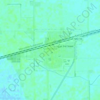
Name: Norborne topographic map, elevation, terrain.

Location: Norborne, Carroll County, Missouri, 64668, United States (39.29648 -93.68563 39.30775 -93.66643)

Average elevation: 689 ft

Minimum elevation: 676 ft

Maximum elevation: 699 ft

Carroll County trails, hiking, mountain biking, running and outdoor activities

Other topographic maps

Click on a map to view its topography, its elevation and its terrain.

Stet

United States > Missouri > Carroll County

Average elevation: 791 ft

Gear up for your next adventure:

👟Trail Running Shoes - Lightweight shoes for trail runners
🎁Geography Themed Gifts - Unique gift ideas for map lovers and geography enthusiasts
🔋Rechargeable Batteries - Power up your outdoor devices
🛠️Outdoor Gear Repair Kit - Essential tools to fix gear on the trail
🔪Outdoor Multitools - Essential survival tools for gear repair and field use

As an Amazon Associate, this site earns from qualifying purchases at no extra cost to you.