Geolocate

Lamont topographic map

Click on the map to display elevation.

About this map

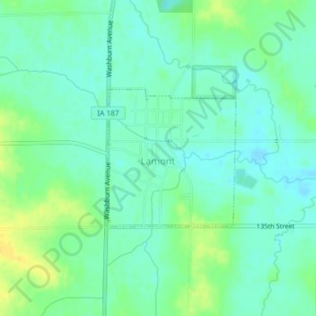
Name: Lamont topographic map, elevation, terrain.

Location: Lamont, Buchanan County, Iowa, United States (42.59287 -91.64780 42.60466 -91.63270)

Average elevation: 1,056 ft

Minimum elevation: 1,027 ft

Maximum elevation: 1,102 ft

Buchanan County trails, hiking, mountain biking, running and outdoor activities

Other topographic maps

Click on a map to view its topography, its elevation and its terrain.

Littleton

United States > Iowa > Buchanan County

Average elevation: 951 ft

Gear up for your next adventure:

🪶Camping Sleeping Pad - Comfortable sleeping pad for backpacking
🎒Trekking Poles - Sturdy poles for balance and stability on rough terrain
🎒Trail Energy Bars - High‑calorie bars for hiking energy
🎒Outdoor Daypacks - Lightweight backpacks designed for carrying maps and essential gear
🧥Waterproof Jacket for Hiking - Breathable and rugged rain jacket for outdoor excursions

As an Amazon Associate, this site earns from qualifying purchases at no extra cost to you.