
Aurora topographic map
Click on the map to display elevation.
About this map
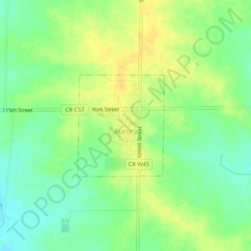
Name: Aurora topographic map, elevation, terrain.
Location: Aurora, Buchanan County, Iowa, United States (42.61400 -91.73549 42.62494 -91.72288)
Average elevation: 1,119 ft
Minimum elevation: 1,076 ft
Maximum elevation: 1,155 ft
Buchanan County trails, hiking, mountain biking, running and outdoor activities
Other topographic maps
Click on a map to view its topography, its elevation and its terrain.