
South Temple topographic map
Click on the map to display elevation.
About this map
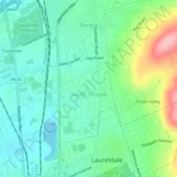
Name: South Temple topographic map, elevation, terrain.
Average elevation: 390 ft
Minimum elevation: 253 ft
Maximum elevation: 741 ft
Berks County trails, hiking, mountain biking, running and outdoor activities
Other topographic maps
Click on a map to view its topography, its elevation and its terrain.
Riverview Park
United States > Pennsylvania > Berks County > Muhlenberg Township
Average elevation: 312 ft
Muhlenberg Park
United States > Pennsylvania > Berks County > Muhlenberg Township
Average elevation: 308 ft
Hyde Park
United States > Pennsylvania > Berks County > Muhlenberg Township > Muhlenberg Park
Average elevation: 351 ft