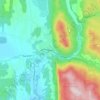
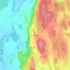
Orwell topographic map
Click on the map to display elevation.
Orwell
Orwell is located in the southwest corner of Addison County. Its western border is the New York–Vermont state line, following the middle of Lake Champlain, near the lake's southern end. Orwell is bordered by the town of Shoreham to the north, Whiting to the northeast, Sudbury to the east and southeast, and Benson to the south. Sudbury and Benson are within Rutland County. To the west, across Lake Champlain, are the town of Putnam, New York, in Washington County, and Ticonderoga, New York, in Essex County. Mount Independence, elevation 306 feet (93 m), is located in northwest Orwell, overlooking Lake Champlain and the town of Ticonderoga.
About this map
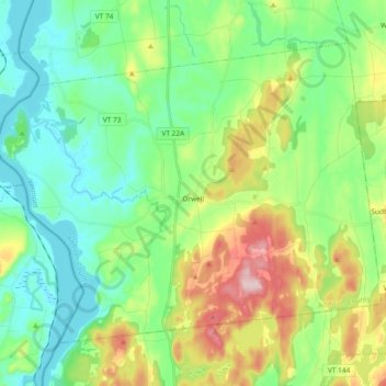
Name: Orwell topographic map, elevation, terrain.
Location: Orwell, Addison County, Vermont, 05760, United States (43.75316 -73.39275 43.85801 -73.20632)
Average elevation: 351 ft
Minimum elevation: 79 ft
Maximum elevation: 981 ft
Addison County trails, hiking, mountain biking, running and outdoor activities
Other topographic maps
Click on a map to view its topography, its elevation and its terrain.
Weybridge Hill
United States > Vermont > Addison County > Weybridge > Weybridge Hill
Average elevation: 312 ft