Geolocate

Porcile topographic map

Click on the map to display elevation.

About this map

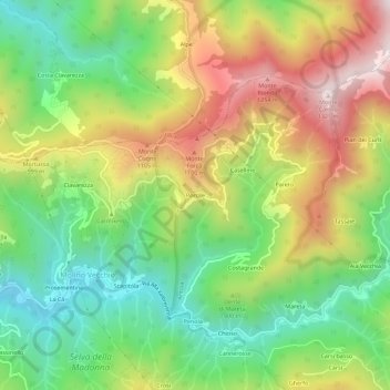
Name: Porcile topographic map, elevation, terrain.

Location: Porcile, Molino Vecchio, Valbrevenna, Genoa, Liguria, Italy (44.54480 9.06037 44.58480 9.10037)

Average elevation: 2,736 ft

Minimum elevation: 1,594 ft

Maximum elevation: 4,288 ft

Gear up for your next adventure:

🧢Outdoor Hiking Hat - Sun protection hat for outdoor explorers
🧥Men's Rain Shells - Premium waterproof and breathable jackets for mountain weather
🛠️Backpacking Tool Kit - Essential toolkit for outdoor repairs
📚Navigation Handbooks - Master the art of reading topographic maps and using a compass
🥄Camping Utensil Set - Lightweight utensils for outdoor meals

As an Amazon Associate, this site earns from qualifying purchases at no extra cost to you.