
Thank you for supporting this site ❤️
Make a donation
Make a donation
Gear up for your next adventure:
As an Amazon Associate, this site earns from qualifying purchases at no extra cost to you.
Redwater topographic map
Click on the map to display elevation.
Thank you for supporting this site ❤️
Make a donation
Make a donation
Gear up for your next adventure:
As an Amazon Associate, this site earns from qualifying purchases at no extra cost to you.
About this map
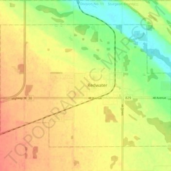
Name: Redwater topographic map, elevation, terrain.
Location: Redwater, Town of Redwater, Alberta, T0A 2W0, Canada (53.93436 -113.16166 53.97077 -113.07521)
Average elevation: 2,060 ft
Minimum elevation: 1,975 ft
Maximum elevation: 2,126 ft
Thank you for supporting this site ❤️
Make a donation
Make a donation
Gear up for your next adventure:
As an Amazon Associate, this site earns from qualifying purchases at no extra cost to you.