Geolocate

Sand Bay topographic map

Click on the map to display elevation.

About this map

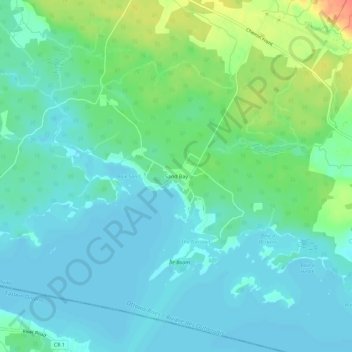
Name: Sand Bay topographic map, elevation, terrain.

Location: Sand Bay, Clarendon, Pontiac, Outaouais, Quebec, Canada (45.52325 -76.58685 45.56325 -76.54685)

Average elevation: 279 ft

Minimum elevation: 236 ft

Maximum elevation: 400 ft

Gear up for your next adventure:

💧Water Purification System - Clean water on the trail with reliable purifiers
🚗GPS Dash Cams - Record your scenic drives through mountain passes and canyons
🧺Microfiber Travel Towels - Compact and fast-drying towels for trail use
🛠️Backpacking Tool Kit - Essential toolkit for outdoor repairs
🔥Fast-Boil Camping Stoves - Efficient cooking systems for quick trail meals

As an Amazon Associate, this site earns from qualifying purchases at no extra cost to you.