Geolocate

Greenhead topographic map

Click on the map to display elevation.

About this map

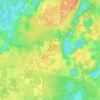
Name: Greenhead topographic map, elevation, terrain.

Location: Greenhead, Washington County, Florida, United States (30.48464 -85.67993 30.52464 -85.63993)

Average elevation: 125 ft

Minimum elevation: 56 ft

Maximum elevation: 180 ft

Washington County trails, hiking, mountain biking, running and outdoor activities

Other topographic maps

Click on a map to view its topography, its elevation and its terrain.

Ebro

United States > Florida > Washington County

Average elevation: 52 ft

Wausau

United States > Florida > Washington County

Average elevation: 98 ft

Gear up for your next adventure:

🥘Titanium Cookware - Durable, featherlight pots and pans for backpacking
🎒Hydration Pack - Hands‑free water reservoir for long hikes
📡GPS Antenna Upgrade - Enhance GPS reception in remote terrain
🕶️GPS Smartphone Mount - Secure mount for phone navigation
📡Handheld GPS Device - Reliable handheld GPS for outdoor navigation

As an Amazon Associate, this site earns from qualifying purchases at no extra cost to you.