Geolocate

Isilkul topographic map

Click on the map to display elevation.

About this map
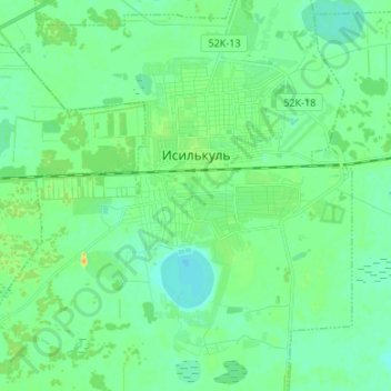
Name: Isilkul topographic map, elevation, terrain.

Location: Isilkul, Исилькульское городское поселение, Isilkulsky District, Omsk Oblast, Siberian Federal District, Russia (54.86632 71.18865 54.94320 71.31560)

Average elevation: 413 ft

Minimum elevation: 384 ft

Maximum elevation: 479 ft

Other topographic maps

Click on a map to view its topography, its elevation and its terrain.

Ukrainka

Russia > Omsk Oblast > Isilkulsky District

Average elevation: 407 ft

Gear up for your next adventure:

🩹Survival Bandages - High‑quality bandages for emergencies
🧤Hiking Gloves - Protective gloves for rugged trails
🔦Powerful Headlamps - Ultra-bright hands-free lighting for night navigation
🗺️NatGeo Topo Maps - High-quality waterproof printed topographic maps of US Parks
🔦Compact Flashlight - Reliable flashlight for emergencies

As an Amazon Associate, this site earns from qualifying purchases at no extra cost to you.