Geolocate

Mount Sutton topographic map

Click on the map to display elevation.

About this map

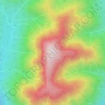
Name: Mount Sutton topographic map, elevation, terrain.

Location: Mount Sutton, Area F (Cowichan Lake South / Skutz Falls), Cowichan Valley Regional District, British Columbia, Canada (48.80211 -124.34372 48.80221 -124.34362)

Average elevation: 2,352 ft

Minimum elevation: 1,178 ft

Maximum elevation: 3,799 ft

Other topographic maps

Click on a map to view its topography, its elevation and its terrain.

Gear up for your next adventure:

🥾Hiking Shoes - Durable and comfortable shoes for trail hiking
🚗GPS Dash Cams - Record your scenic drives through mountain passes and canyons
🌐World Map Poster - Decorative world maps with topographic info
📱Heavy-Duty Phone Cases - Drop-proof and waterproof protection for outdoor navigation
🧥Men's Rain Shells - Premium waterproof and breathable jackets for mountain weather

As an Amazon Associate, this site earns from qualifying purchases at no extra cost to you.