
Thank you for supporting this site ❤️
Make a donation
Make a donation
Gear up for your next adventure:
As an Amazon Associate, this site earns from qualifying purchases at no extra cost to you.
Phedi topographic map
Click on the map to display elevation.
Thank you for supporting this site ❤️
Make a donation
Make a donation
Gear up for your next adventure:
As an Amazon Associate, this site earns from qualifying purchases at no extra cost to you.
About this map
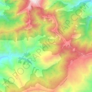
Name: Phedi topographic map, elevation, terrain.
Location: Phedi, Kepilasagadhi, Khotang, Province #1, Nepal (27.26528 86.87431 27.37190 86.98490)
Average elevation: 7,795 ft
Minimum elevation: 4,242 ft
Maximum elevation: 11,818 ft
Thank you for supporting this site ❤️
Make a donation
Make a donation
Gear up for your next adventure:
As an Amazon Associate, this site earns from qualifying purchases at no extra cost to you.