Geolocate

Goose Prairie topographic map

Click on the map to display elevation.

About this map

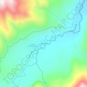
Name: Goose Prairie topographic map, elevation, terrain.

Location: Goose Prairie, Yakima County, Washington, United States (46.87522 -121.28701 46.91522 -121.24701)

Average elevation: 3,793 ft

Minimum elevation: 3,094 ft

Maximum elevation: 5,728 ft

Yakima County trails, hiking, mountain biking, running and outdoor activities

Other topographic maps

Click on a map to view its topography, its elevation and its terrain.

Gleed

United States > Washington > Yakima County

Average elevation: 1,391 ft

Ahtanum

United States > Washington > Yakima County

Average elevation: 1,391 ft

Gear up for your next adventure:

📱Solar Portable Charger - Solar power bank for charging devices off‑grid
🏕️Family Camping Gear - Essentials for group camping trips
🧴Hand Sanitizer - Keep hands clean while hiking
🪶LED Camping Lantern - Bright lantern for camp lighting
📚Navigation Handbooks - Master the art of reading topographic maps and using a compass

As an Amazon Associate, this site earns from qualifying purchases at no extra cost to you.