
大龙洞 topographic map
Interactive map
Click on the map to display elevation.
About this map
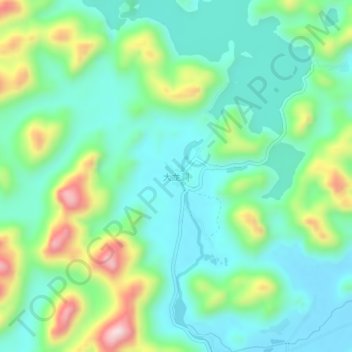
Name: 大龙洞 topographic map, elevation, terrain.
Location: 大龙洞, 南宁市, 广西壮族自治区, 中国 (23.55936 108.55767 23.59936 108.59767)
Average elevation: 810 ft
Minimum elevation: 436 ft
Maximum elevation: 1,781 ft
Other topographic maps
Click on a map to view its topography, its elevation and its terrain.