
拉山 topographic map
Interactive map
Click on the map to display elevation.
About this map
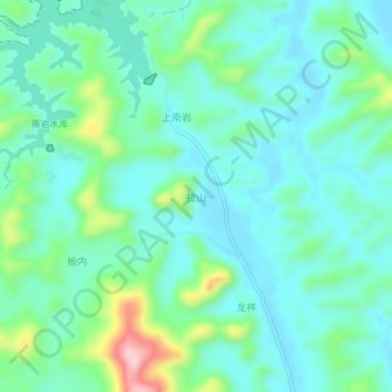
Name: 拉山 topographic map, elevation, terrain.
Location: 拉山, 南宁市, 广西壮族自治区, 中国 (23.70961 108.59842 23.74961 108.63842)
Average elevation: 709 ft
Minimum elevation: 545 ft
Maximum elevation: 1,276 ft
Other topographic maps
Click on a map to view its topography, its elevation and its terrain.