
良村 topographic map
Interactive map
Click on the map to display elevation.
About this map
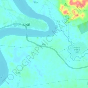
Name: 良村 topographic map, elevation, terrain.
Location: 良村, 南宁市, 广西壮族自治区, 中国 (22.77140 108.90400 22.81140 108.94400)
Average elevation: 240 ft
Minimum elevation: 194 ft
Maximum elevation: 492 ft
Other topographic maps
Click on a map to view its topography, its elevation and its terrain.