Geolocate

Rabbitkettle Lake topographic map

Click on the map to display elevation.

About this map

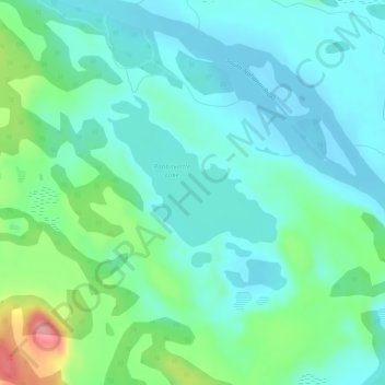
Name: Rabbitkettle Lake topographic map, elevation, terrain.

Location: Rabbitkettle Lake, Dehcho Region, Northwest Territories, Canada (61.96135 -127.21955 61.96145 -127.21945)

Average elevation: 2,060 ft

Minimum elevation: 1,975 ft

Maximum elevation: 2,346 ft

Other topographic maps

Click on a map to view its topography, its elevation and its terrain.

Wrigley

Canada > Northwest Territories > Dehcho Region

Average elevation: 522 ft

Sambaa K'e

Canada > Northwest Territories > Dehcho Region > Sambaa K'e

Average elevation: 1,663 ft

Gear up for your next adventure:

🥤Water Filter Bottle - All‑in‑one filter bottle for safe hydration
🥄Camping Utensil Set - Lightweight utensils for outdoor meals
🪶Camping Sleeping Pad - Comfortable sleeping pad for backpacking
🧣Hiking Neck Gaiter - Multi‑use neck protection for outdoor weather
🪄Magnetic Compass - Accurate compass for navigation

As an Amazon Associate, this site earns from qualifying purchases at no extra cost to you.