Geolocate

Vale Perkins topographic map

Click on the map to display elevation.

About this map

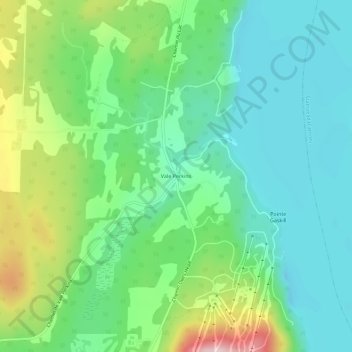
Name: Vale Perkins topographic map, elevation, terrain.

Location: Vale Perkins, Potton, Memphrémagog, Estrie, Quebec, Canada (45.06822 -72.32401 45.10822 -72.28401)

Average elevation: 942 ft

Minimum elevation: 627 ft

Maximum elevation: 1,713 ft

Gear up for your next adventure:

🪶LED Camping Lantern - Bright lantern for camp lighting
🌧️Backpack Rain Cover - Keep gear dry in wet weather
🎁Geography Themed Gifts - Unique gift ideas for map lovers and geography enthusiasts
🥾Women's Hiking Boots - Top-rated trail boots with ankle support and superior grip
🚑Emergency Bivvies - Heat-reflective sleeping bags for survival situations

As an Amazon Associate, this site earns from qualifying purchases at no extra cost to you.