
礼县 topographic map
Interactive map
Click on the map to display elevation.
About this map
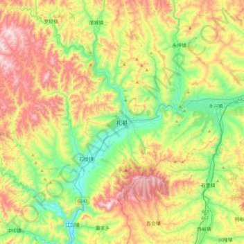
Name: 礼县 topographic map, elevation, terrain.
Location: 礼县, 陇南市, 甘肃省, 中国 (34.03020 105.01752 34.35020 105.33752)
Average elevation: 5,699 ft
Minimum elevation: 4,390 ft
Maximum elevation: 7,684 ft
Other topographic maps
Click on a map to view its topography, its elevation and its terrain.