
盐官镇 topographic map
Interactive map
Click on the map to display elevation.
About this map
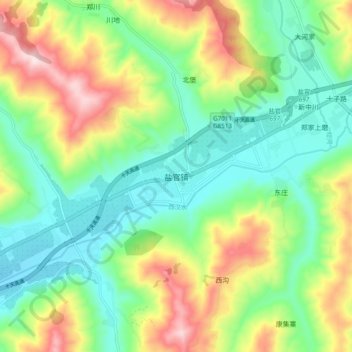
Name: 盐官镇 topographic map, elevation, terrain.
Location: 盐官镇, 礼县, 陇南市, 甘肃省, 中国 (34.22353 105.42639 34.30353 105.50639)
Average elevation: 5,308 ft
Minimum elevation: 4,843 ft
Maximum elevation: 6,168 ft
Other topographic maps
Click on a map to view its topography, its elevation and its terrain.