Geolocate

La Rivière topographic map

Click on the map to display elevation.

About this map

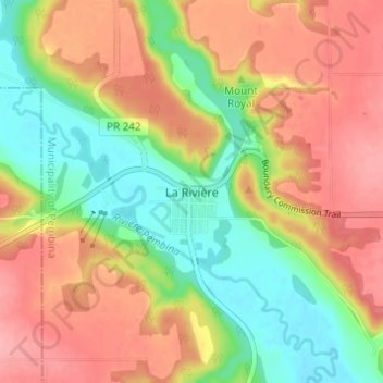
Name: La Rivière topographic map, elevation, terrain.

Location: La Rivière, Municipality of Pembina, Manitoba, Canada (49.21910 -98.69989 49.25910 -98.65989)

Average elevation: 1,440 ft

Minimum elevation: 1,280 ft

Maximum elevation: 1,588 ft

Gear up for your next adventure:

🧯Emergency Survival Kit - All‑in‑one survival essentials for the backcountry
🥇GPS Hiking Watch - Multi‑sport GPS watch with navigation and trail tracking
🔦Compact Flashlight - Reliable flashlight for emergencies
🔌Solar Panel Charger - Charge gear sustainably outdoors
🍳Camping Cook Set - Complete cookware for outdoor meals

As an Amazon Associate, this site earns from qualifying purchases at no extra cost to you.