
花西乡 topographic map
Interactive map
Click on the map to display elevation.
About this map
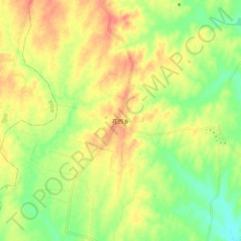
Name: 花西乡 topographic map, elevation, terrain.
Location: 花西乡, 孝昌县, 孝感市, 湖北省, 中国 (31.15923 113.81950 31.23923 113.89950)
Average elevation: 190 ft
Minimum elevation: 98 ft
Maximum elevation: 269 ft
Other topographic maps
Click on a map to view its topography, its elevation and its terrain.