
花园镇 topographic map
Interactive map
Click on the map to display elevation.
About this map
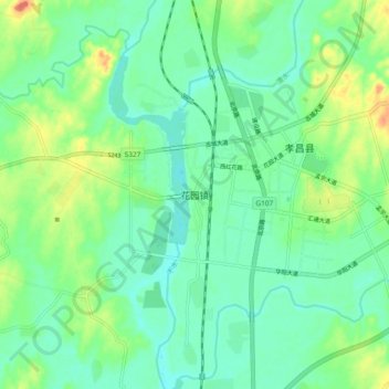
Name: 花园镇 topographic map, elevation, terrain.
Location: 花园镇, 孝昌县, 孝感市, 湖北省, 中国 (31.20967 113.92775 31.28967 114.00775)
Average elevation: 141 ft
Minimum elevation: 82 ft
Maximum elevation: 272 ft
Other topographic maps
Click on a map to view its topography, its elevation and its terrain.